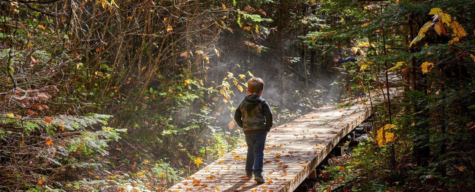


The Town of Marathon is nestled in boreal forest. It was designed in such a way as to maintain that wilderness feel while providing residents with a modern, efficient community. Many homes back on to “greenbelts” which mean that you can jump on to a trail and be in the bush just steps away from your backdoor.
View a map of the walking trails around Marathon!
These trails are used as shortcuts to get to school or work, as thoroughfares for snow machines, and as leisure trails for hiking or mountain biking. Here are some that you might want to tackle:
|
The Group of Seven Lake Superior Trail Association |
|
The Group of Seven Lake Superior Trail Association is a not-for-profit organization connecting the painting locations of the Group of Seven between Pukaskwa National Park and Neys Provincial Park with a rugged wilderness recreation trail. Working in partnership with The Town of Marathon and Biitigong Niishnabeg, we maintain many spectacular trails where you can hike to the breathtaking viewscapes that the Group of Seven captured on canvas a hundred years ago.
|
|
Hawks Ridge Trail |
|
Hawks Ridge was formed over 10,000 years ago after the last glacier movement when ancient tectonic forces and glacial activity formed the fascinating landscape on the north shore. The ridge acquired its name from the frequent sightings of hawks using the winds off Lake Superior to soar along the ridge. Hawks Ridge creates a dramatic division between land and lake and offers a spectacular view of Lake Superior and the surrounding area. Trail InformationIntermediate Length 2.5 km (approximately 35 minutes one way) This trail climbs to a vertical height of 350 feet. Begin your hike at the end of Hemlo Avenue in Marathon where you will find the trail marker. |
|
Penn Lake Park Trail |
|
Located in Penn Lake Park, the trail lies nestled within the Town of Marathon. This relatively easy hiking trail circumscribes Penn Lake and offers excellent views of Penn Lake. Moose, bear, grouse and waterfowl are commonly seen in the park. Trail InformationEasy Length: 2 km Some areas can be slightly slippery and wet to walk through especially in the north east section of the trail around the outer trail. |
|
Voyageur Trail (North Section): Boat Launch to Carden Cove |
|
Located on the coast of Lake Superior and starting at the Boat Launch, this trail offers a great walking experience along the Marathon waterfront. Much of the walking will be on large expanses of coastal rock. It leads to Carden Cove and offers excellent vistas of the surrounding harbour front and area. Trail InformationEasy to Intermediate Voyageur Trail (North Section): Approximately < 4.0 km The coastal trail is an intermediate level hike that can be relatively easy to walk in many places but in others can be tough walking through in the lesser used sections of the trail. The rocks are very slippery and dangerous when wet so hikers should use caution. Voyageur Trail (North Section) Map |
|
Pebble Beach “The Lagoon” Coastal Trail |
|
The trail from Pebble Beach starts off difficult but soon becomes easier. Pebble Beach is made of large rocks which are very tough and slippery to walk across. Once you get past the rocks the beach is much easier to walk on. Further along the beach there are the flat rounded rocks that are part of the Lagoon. The Lagoon is a natural land formation on the shore of Lake Superior. Thousands of years of erosion from Superior's mighty waves crashing the shore resulted in spectacular rounded rocks that stretch out along the lagoon. Bald eagles and hawks can be seen soaring along the coast. This moderate level hiking trail will lead you to one of Superior's most amazing shores. Trail InformationLength 3 km (One Way), Intermediate Pebble Beach “The Lagoon” Coastal Trail Map |
|
The Walking Loop |
|
A popular walk on summer evenings this leisurely walk takes you around the community on a network of sidewalks. There is a second loop cutting through Sund Cresent, Birch Drive,and Steedman Drive that lessens the total distance. Trail InformationEasy It is a 4.4 km walking path going around town. |
|
Carden Cove to Sturdee Cove |
|
This trail can be accessed from the boat launch or by vehicle on Carden Cove Road. Carden Cove Beach is an easy walk along the sandy beach. Located at the end of Carden Cove Beach, there are two trails going in a fork. The first trail goes right and leads past an access point to the east end of Beatty Cove and ends at the mouth of Angler Creek and Sturdee Cove. The Trail continues on past the access point to Beatty Cove and goes behind the shoreline, and leads to the southwest point of Sturdee Cove at the mouth of Angler Creek. Trail InformationEasy to Moderate Approximately 1.8 km Approximately 500 m along the trail there is a short access point to Beatty Cove. Carden Cove to Sturdee Cove Map |
|
Voyageur Trail (South Section): Marathon to Heron Bay |
|
This trail connects Marathon to Heron Bay and Lunam Lake. This trail offers an amazing view of Heron Bay from a lookout and the clam shores of Lunam Lake. The section from Lunam Lake to Heron bay is the most difficult part of the trail. From the lookout there are a series of rock piles which are used to continue on the trail. A large portion of that section of trail is an uphill climb over rough terrain. In a few places the trail can be wet. Past Lunam Lake the trail becomes much easier to walk on however close to Hawks Ridge, at Craigs Pit the ground is littered with large pebbles making the terrain slightly rougher. The trail intersects the old Voyageur trail so make sure to follow the better kept trail. Both the new and old sections of the Voyageur Trail connect to the Hawks Ridge Trail. Trail InformationIntermediate Approximately 11 km (One way) Voyageur Trail (South Section): Marathon to Heron Bay Map |
|
Neuve Chapelle Point Loop |
|
This trail can be accessed from the boat launch or by vehicle on Carden Cove Road. Carden Cove Beach is an easy walk along the sandy beach. This trail goes left and leads to the south end of Beatty Cove. This trail connects to the trail at the north side of Beatty Cove heading to Sturdee Cove. A section of the trail is walking along the shoreline rocks and leads to three large rocks with paths to walk between them to the shoreline. Trail InformationEasy to Moderate Approximately 1 km Neuve Chapelle Point Loop Map |
|
MFHT Step Outside |
|
Click here to learn about the Marathon Family Health Teams "Step Outside" Program! |
Contact Us
 Subscribe to this Page